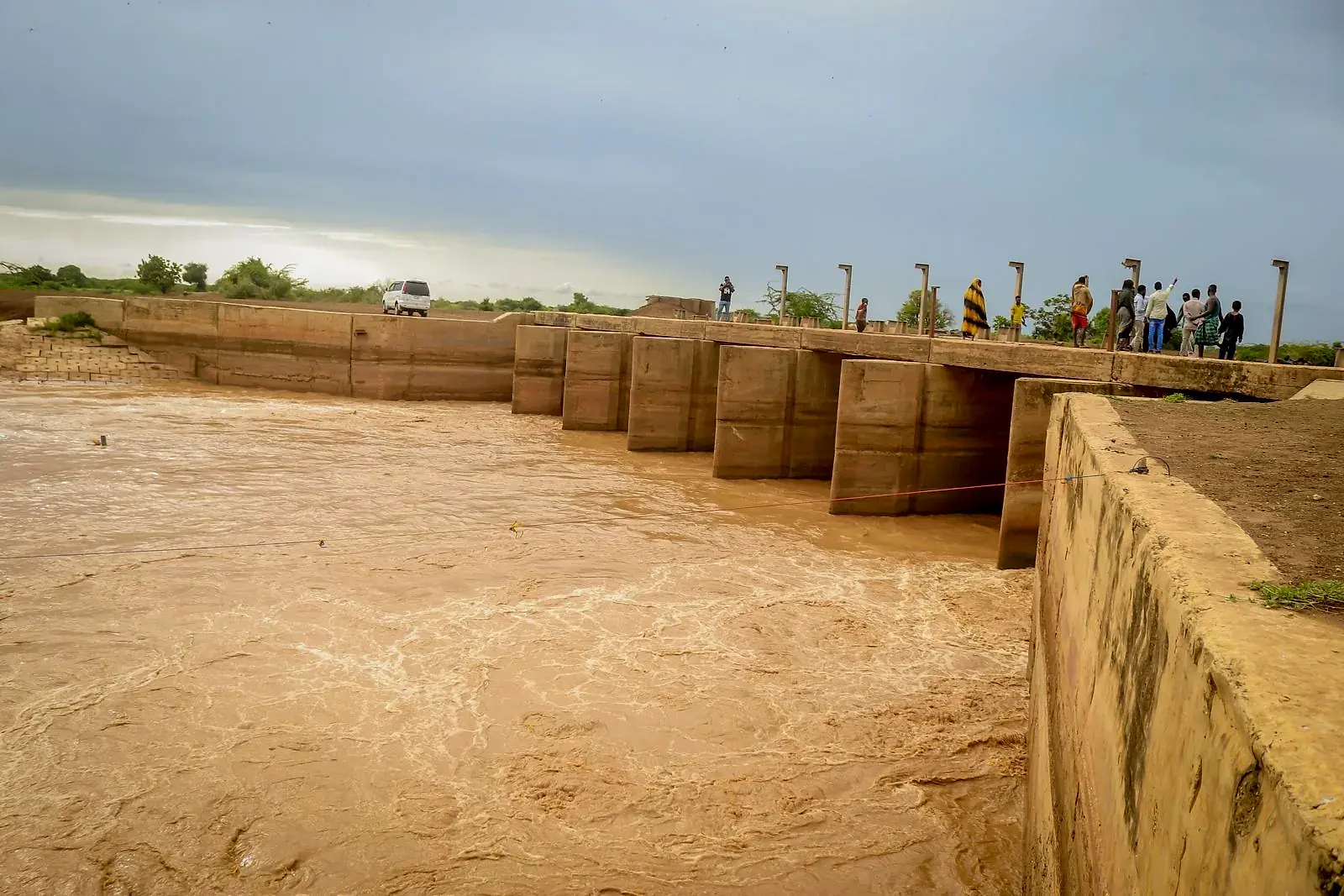
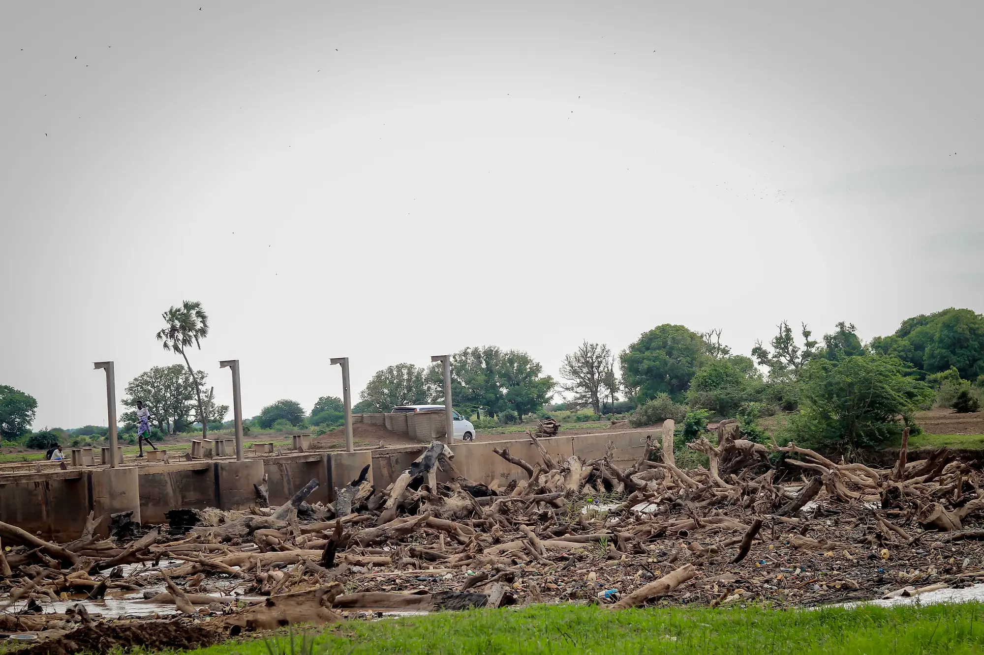
A concrete river barrage with brown floodwater surging through every gate, and a line of people watching from the crossing above.
Raagsan

Daadihiye Approach

Early Warning Early Action (EWEA) Community Engagement Guide

Preparing riverine and flash-flood affected communities for the 2026 El Niño Deyr season.

Developed by Raagsan for the BRCiS EWEA WorkstreamWorking draftAugust 2026

Scroll for the summary. Open any card for the full guidance.

90%+
probability of El Niño in the Deyr season
10
high-risk BRCiS districts
3
days of community engagement sessions
10
sessions to co-create community plans
1250+
participants from the community
50+
Community contingency plans
01Introduction

El Niño 2026 and the coming Deyr season

On 2 June 2026, FAO-SWALIM issued a formal warning anticipating a greater than 90 per cent probability of El Niño conditions developing during the October to December 2026 Deyr season.

If a positive Indian Ocean Dipole develops alongside it, as happened in 2023, the combined effect is likely to produce widespread and prolonged flooding along the Juba and Shabelle river basins, together with flash flooding in non-riverine areas.

The consortium is not planning for a repeat of 2023 so the BRCiS members are adopting a no-regret approach to help communities prepare for the high possibility of the flooding to occur in their communities.

For flooding in Somalia the warning window may be measured in days. That time is useful only where communities understand what the warning means and have discussed in advance what they will do.

A concrete barrage with a mass of driftwood and debris piled against its upstream face.

Debris left piled against the barrage. Photo: Raagsan

•Purpose of the guide

What is the community engagement aiming to achieve?

Community engagement is a central part of the EWEA approach. The sessions are designed to create space for communities to develop their community action plans to prepare and respond to any flooding event that is likely to occur. The sessions are not meant to be driven by BRCiS NGO members. It is designed to help facilitate community conversations, organise their thoughts, bring their own knowledge and experience into the early warning process, and to decide what action is practical for them.

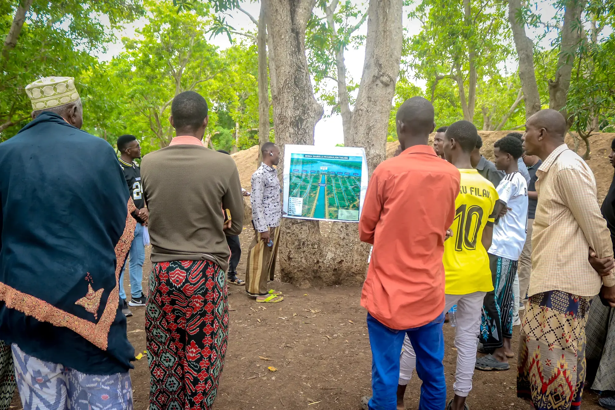
Participants standing in a loose ring around a map board held up on open ground.

01

Build a shared understanding of El Niño-related flood risk

Discuss the 2026 forecast issued by weather and climate forecast entities, what it means for their specific communities, and what remains uncertain, and whether the location faces riverine or rain-fed flash flooding.

Facilitators must be fully aware of forecast and the risks anticipated before they explain it to the communities.
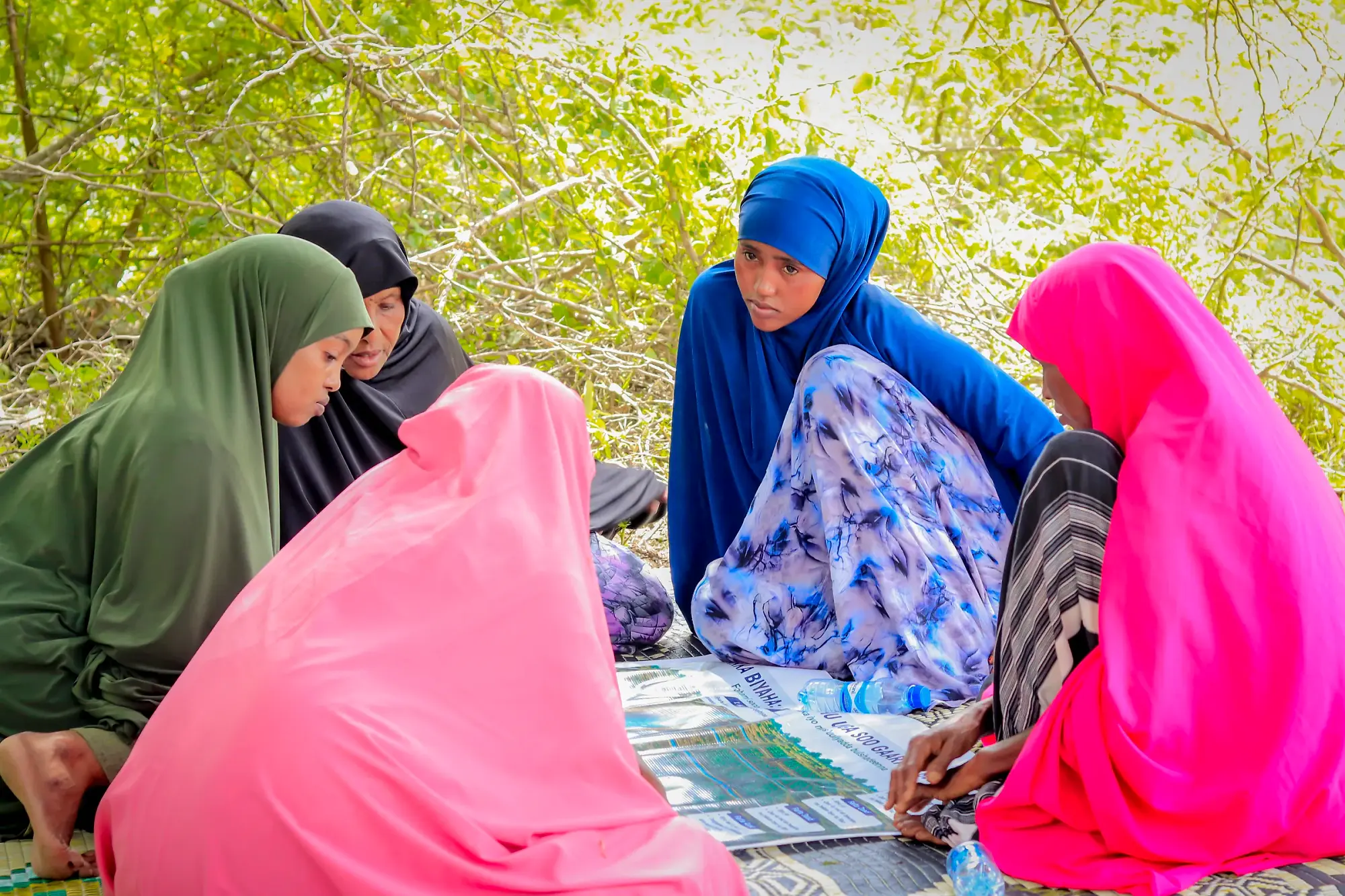
A women-only group seated on mats working over a large printed map, one writing.

02

Capture local knowledge and ensure inclusive participation

Document past floods and droughts, local early warning indicators and coping strategies, while ensuring women, youth, elders, minority and marginalised groups, and persons living with disabilities shape the plans.

  • The group must include people living in the parts of the settlement that flood first, not only residents of safer areas.
  • A stratified approach should be used first to divide the community into key groups such as men, women, youth, elders and marginalised groups.
  • Within each group, snowballing should be used so community networks can help reach people who might otherwise be excluded.
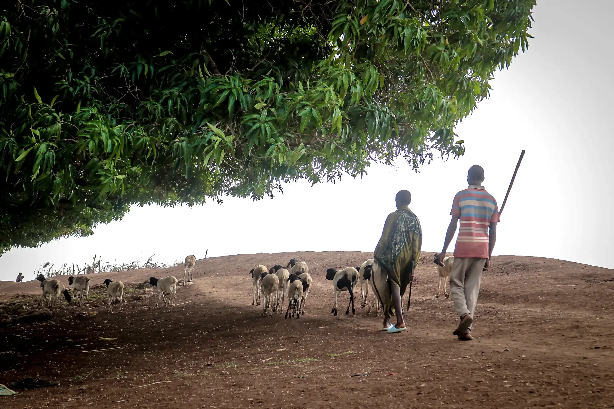
Sheep and goats driven along a treeline in flat light, two herders following.

03

Agree anticipatory actions, triggers and protective measures

Agree locally owned triggers and roles, safe higher ground, evacuation routes, support for people who cannot self-evacuate, and measures to protect household, livelihood and community assets.

Participants kneeling over a printed community map on the mat, one writing on it.

04

Prepare community plans and agree how to close the feedback loop

Produce or update community contingency plans, prepare relocation plans in high-risk riverine locations or where they are required, and establish two-way feedback channels through which communities can share their feedback.

All outputs must be validated with the community before they are finalised, and the community must receive a copy of its own plan in a form it can easily use. The custodians of the plan must be selected from the community members.

1 of 4
02The Daadihiye model

Communities should lead the discussions and decisions that affect their day to day lives.

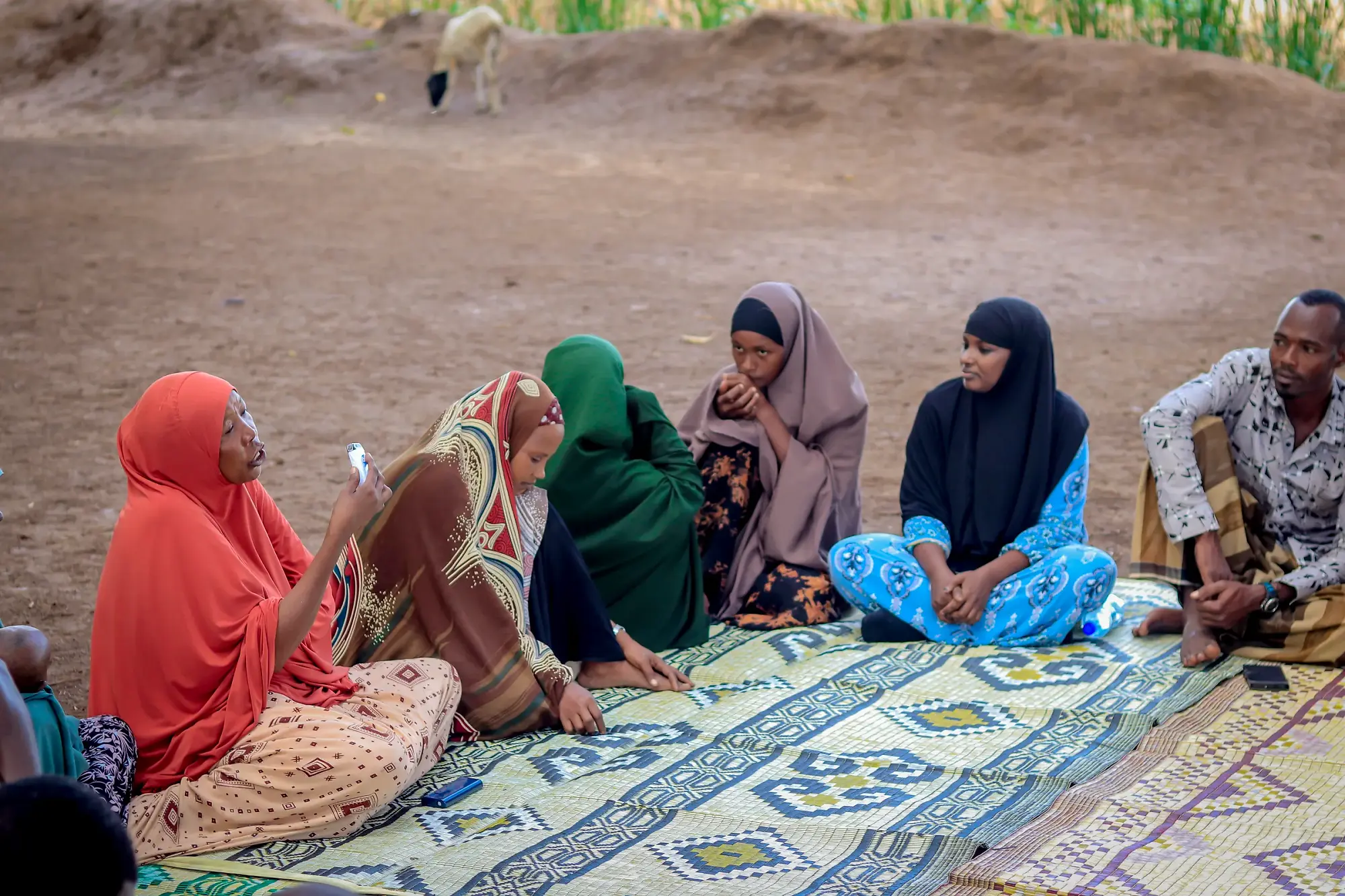
Four women seated close together on patterned mats, mid-conversation, one listening intently.
Participants in conversation during a breakout. Photo: Raagsan

Effective community engagement in Somalia requires an approach that recognises the local community practices and adopts participatory models into existing practices related to how communicate and interact i.e. storytelling.

The Daadihiye Community Engagement Model

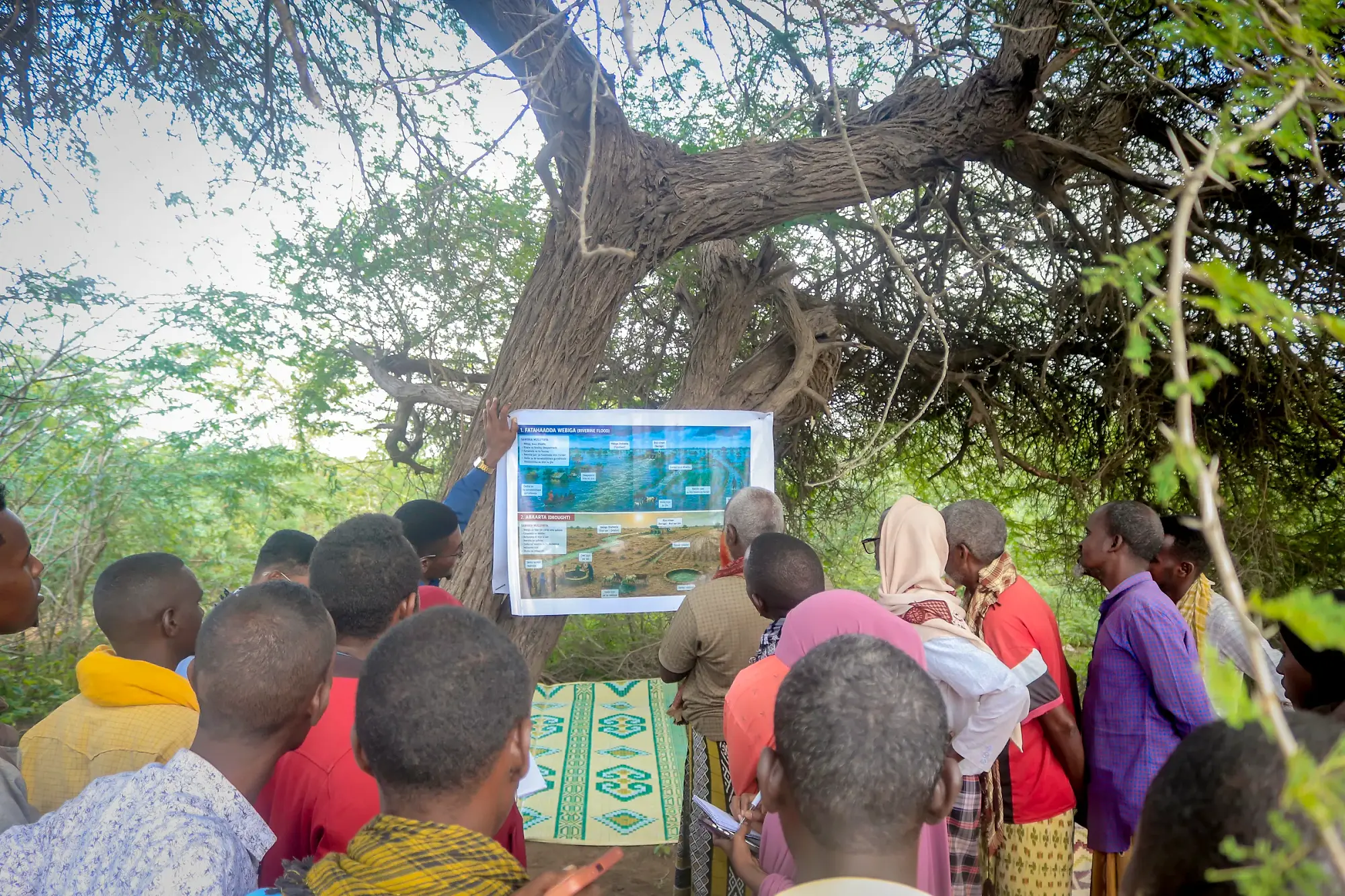
Daadihiye adapts participatory community engagement methods to the Somali context. It recognises the strong oral tradition within Somali communities and uses illustrations, case studies, community mapping, transect walks and other interactive tools to allow people to share experiences and perspectives in their own words.

Hands and pens reaching across a large printed map spread out on a mat, several people annotating at once.
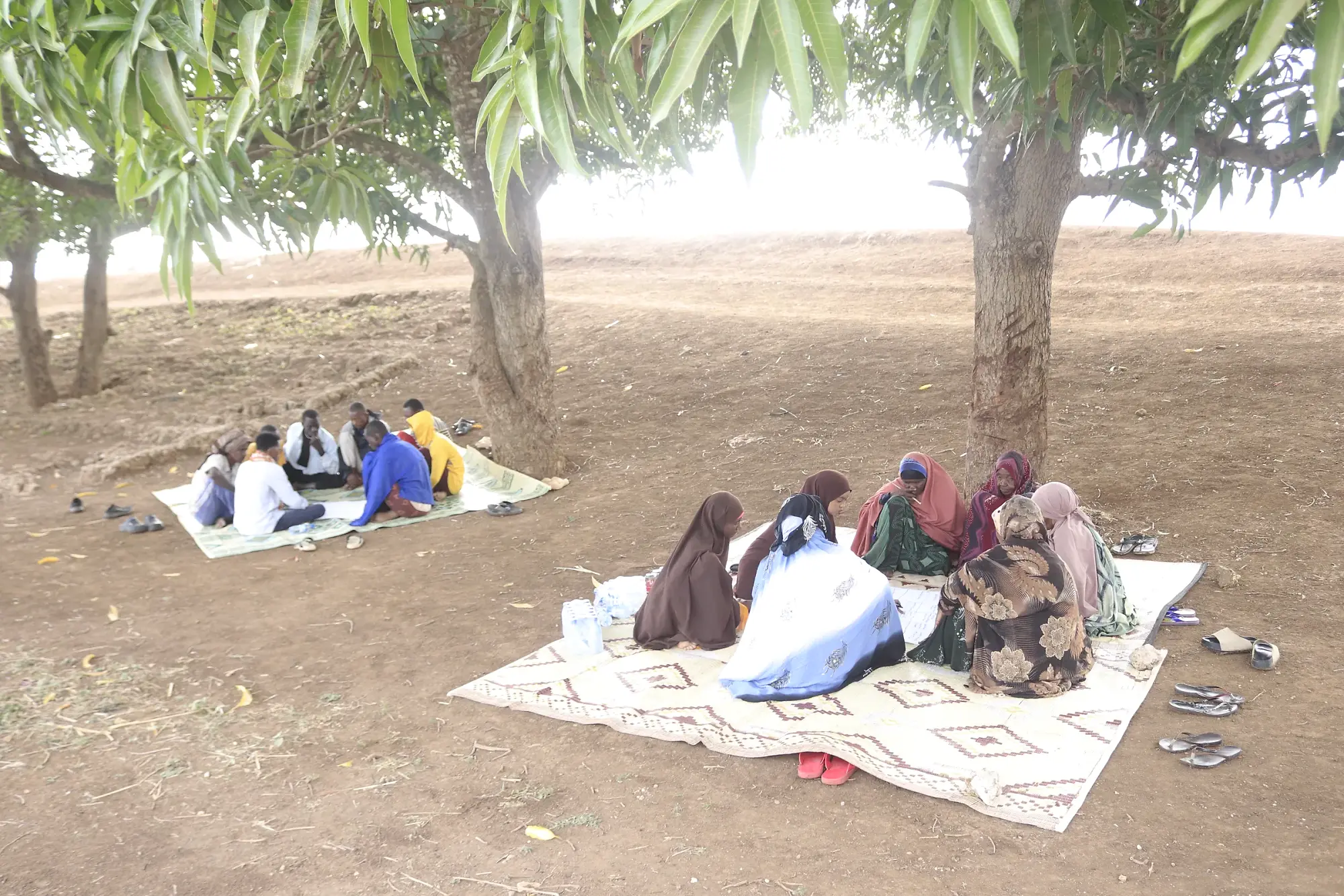
A women-only group seated on a mat in the shade of the trees, in conversation.
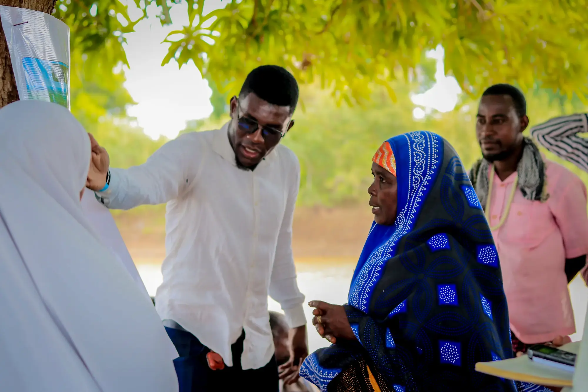
A facilitator turns to a woman participant mid-exchange, both gesturing.

Annotating the community map, all hands at once. Photo: Raagsan

Community-centred and community-led

Community knowledge and experience guide the conversation. Facilitators create the space, but the information should come from the community and be used alongside forecasts and early warning information.

Continuous dialogue and storytelling

The process is not a one-off meeting. People tell stories, share experiences, ask questions, reflect on new information and revisit earlier discussions across the sessions.

Visual tools carry the discussion where literacy levels vary. Illustration cards, ranking counters and community maps do the work that a written handout cannot.

Transparent and systematic engagement

Communities are informed why the engagement is taking place, how participants are selected and how information will be used. Areas of agreement and disagreement are documented and revisited.

The final participant list is explained openly to the community, including how and why participants were chosen, to avoid perceptions of favouritism.

Inclusive participation

The approach deliberately creates space for women, men, youth, elders, minority and marginalised groups, persons with disabilities, displaced households and different livelihood groups.

1 of 4
03Principles

Seven principles guiding EWEA community engagement

How the engagement is conducted matters.

1

Co-creation, not consultation

Communities should lead discussions and have a central role in deciding outcomes. Facilitators create space for communities to discuss, debate and agree the outcomes themselves.

2

Be honest about what is known about the forecast and what is uncertain

Explain what information the forecast is providing, what it cannot tell us and what may change. Do not present a forecast as certainty.

Being clear about that distinction is what maintains trust when a warning turns out to be a false alarm. The scenario exercise in the guide includes a false alarm card for exactly this reason.

3

Use moderators and facilitators communities know and trust

Use people familiar with the local context, language and community dynamics who can create an environment where people feel comfortable speaking openly.

4

Prepare for conditions worse than previous floods

Apply a no-regrets, worse than 2023 lens and consider higher water, faster movement, larger flood extents and longer inundation.

5

Messages should be developed with communities

Communities review and shape messages so they reflect what people need to know, use language they understand and make action clear.

6

Closing the feedback loop

Communities should be able to ask questions, provide feedback, report changes and raise concerns when a warning does not reflect what is happening locally.

7

Do no harm

Decisions should not create new risks, tensions or exclusion, especially around relocation, land ownership, assistance and shared resources.

Identifying land as a safe relocation site without understanding who owns or uses it could create conflict when people try to move there during a flood. Site selection asks explicitly whether any option is contested or associated with a particular group.

1 of 7
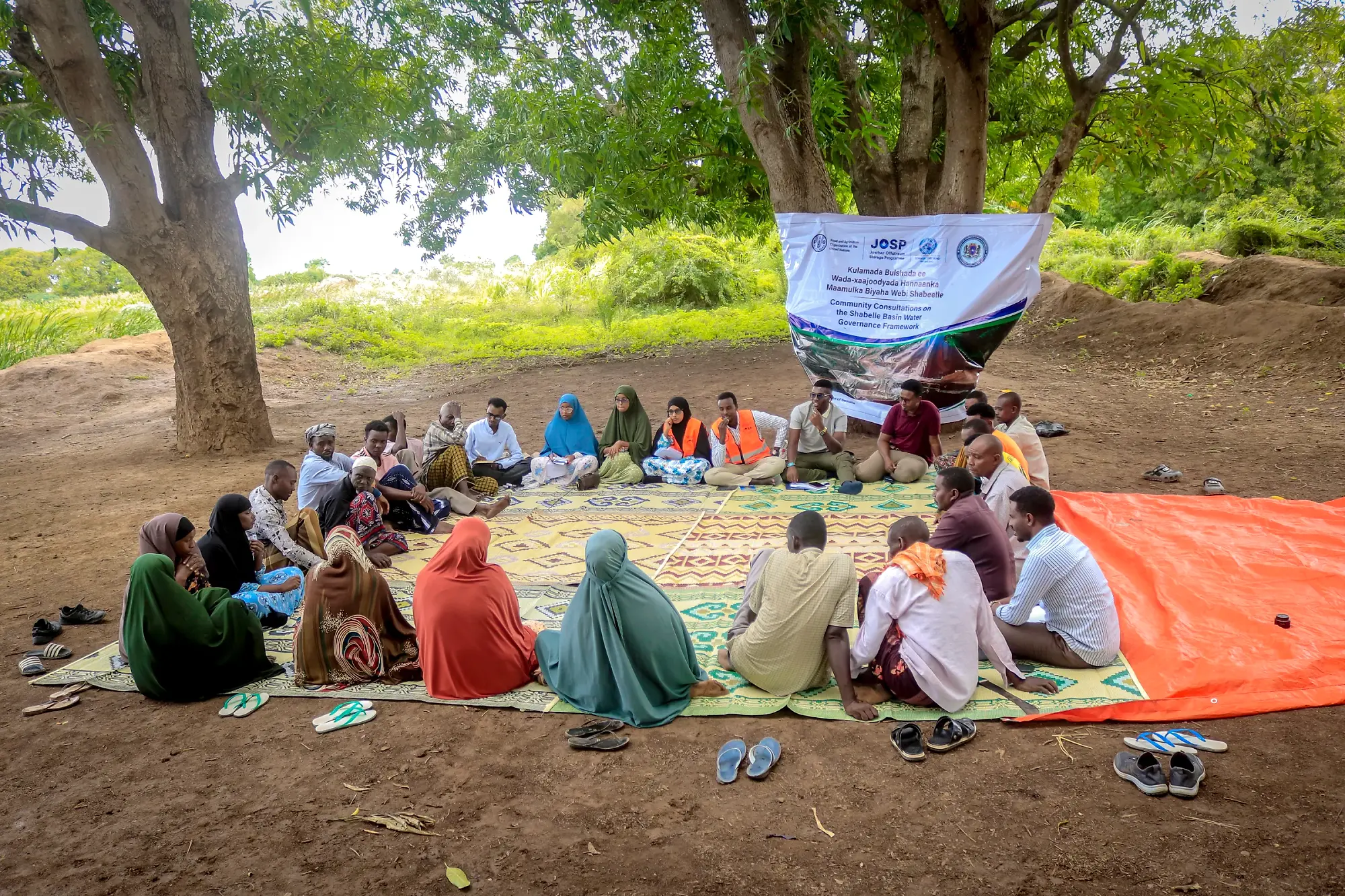
A large community consultation seated on mats beneath a project banner strung between two trees.
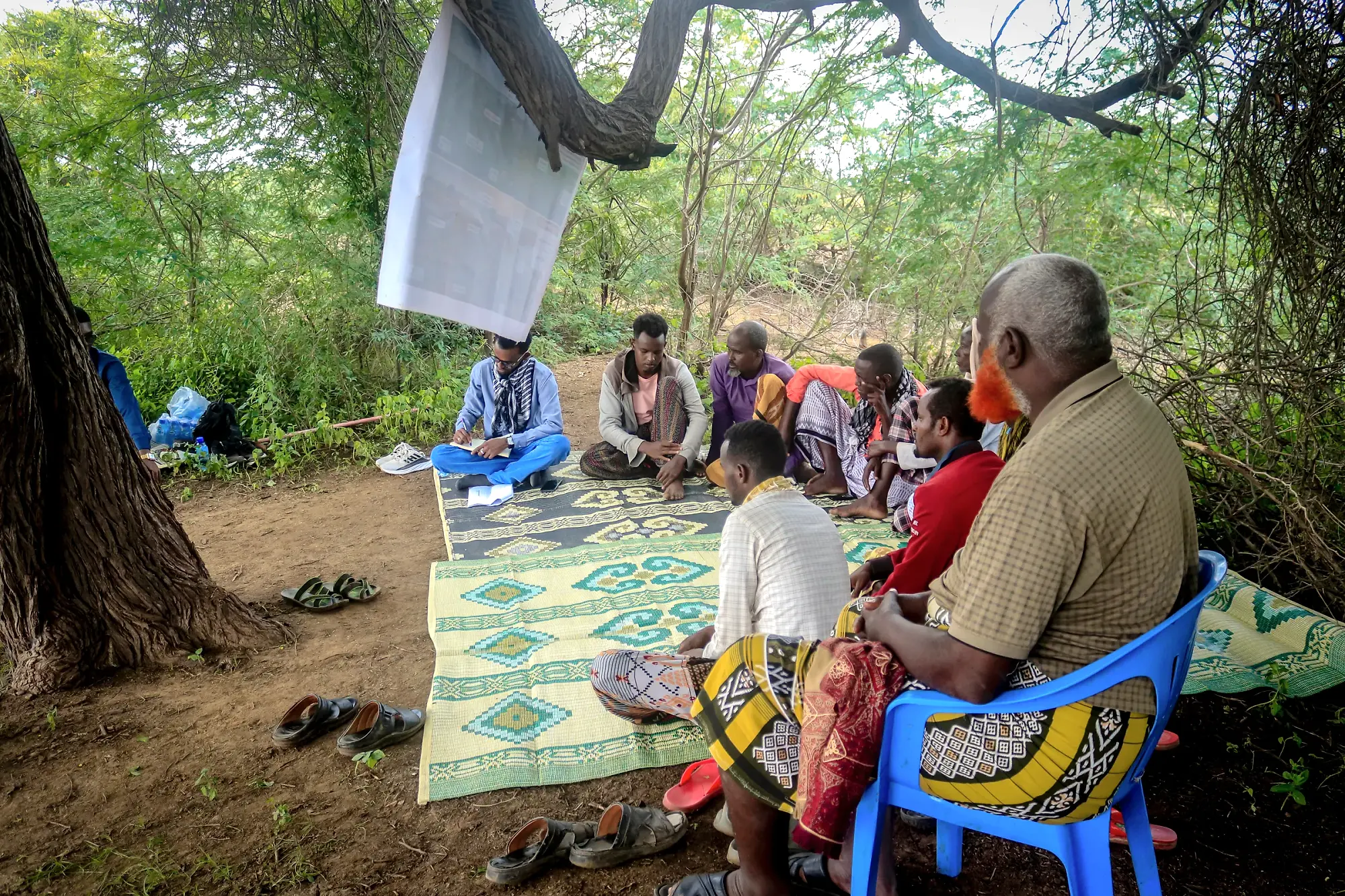
Participants seated on patterned mats on open ground with a flipchart sheet hanging from a branch above them.

A full community consultation, Shabelle basin. Photo: Raagsan

Who should use this guide

The guide is for facilitators, moderators and community mobilisers leading EWEA engagement sessions, and for BRCiS Member staff supervising them. CRCs, DAC Fora and EWEA subcommittees should use it to understand the approach and co-lead sessions. Project managers, workstream leads and government counterparts may use it to monitor how engagement is conducted.

04BRCiS communities exposure

High-risk districts for the 2026 Deyr season

Assessed on the basis of 2023 flood extents, this table includes the most exposed districts. Select a district for its flood type, the BRCiS projects active there, and what the sessions must emphasise in that location.

10 districts, ordered from least to most exposed. Select a district for its flood type, active projects and session emphasis.

Why warnings do not always lead to action

Past experience shows that even where early warnings information reached communities with adequate lead time, people did not always act. The evidence from flood-prone districts in Somalia points to four recurring reasons why a community that received an early warning did not act on it:

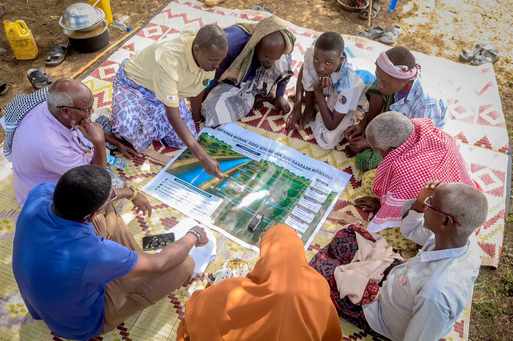
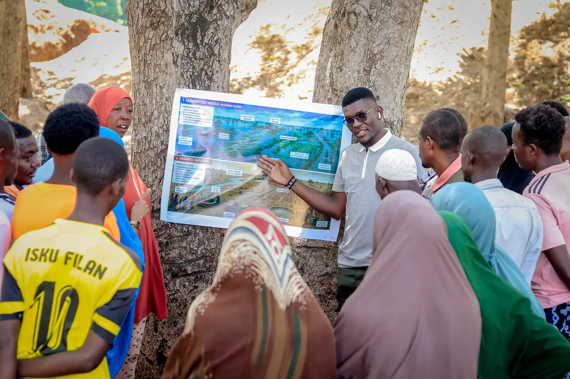
A facilitator holds a large printed map board and points to a feature on it while participants watch.

01

People may not trust the source

Explore which sources communities trust, how they normally receive information, and who within the community can help communicate and explain warnings.

Use moderators and facilitators the community already knows and trusts: people familiar with the local context, language and community dynamics, who can create an environment where people feel comfortable speaking openly.

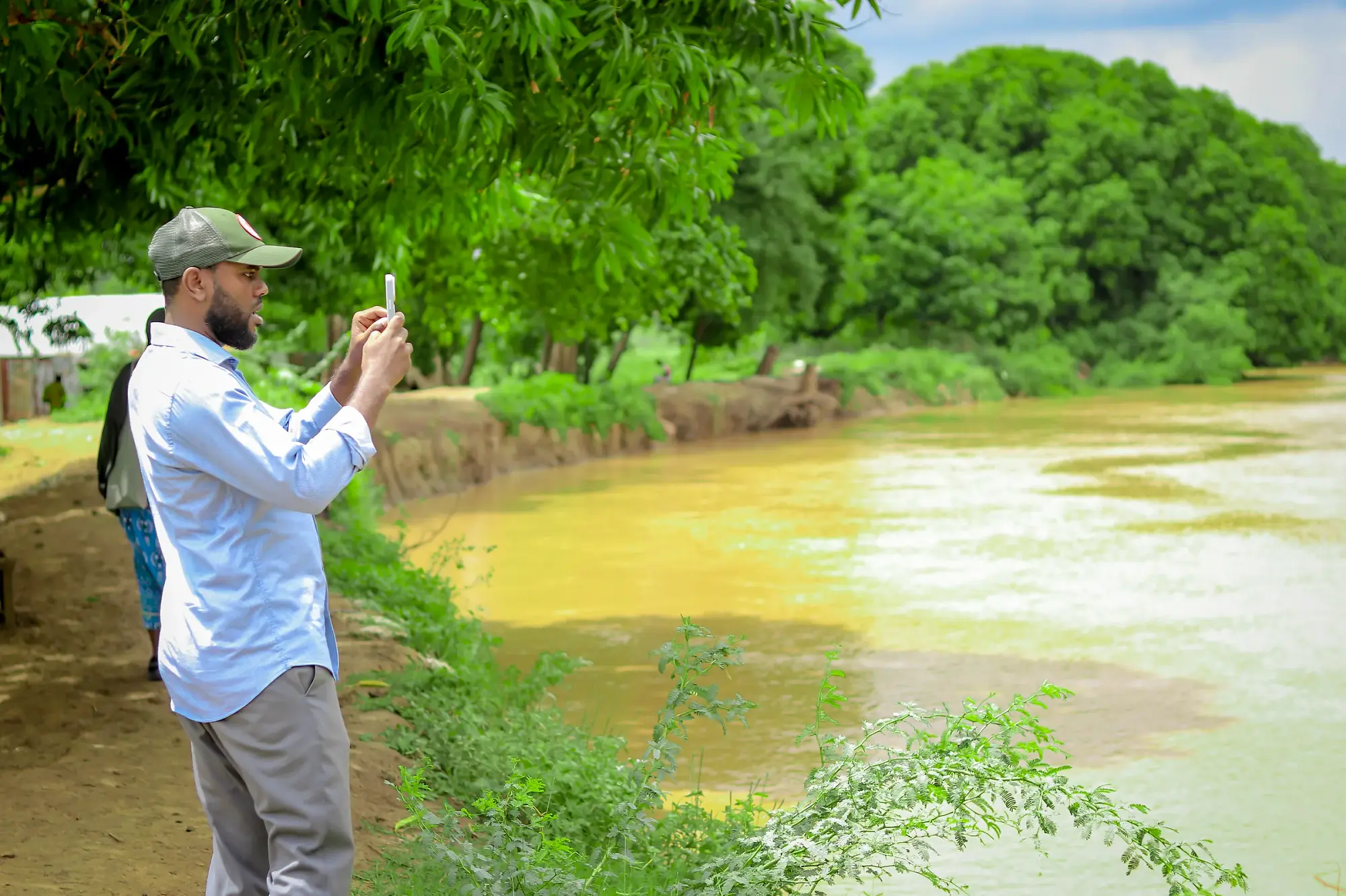
A man stands on the bank photographing a silted, discoloured channel on his phone.

02

The warning may not be aligned with what people are observing locally

Communities use their own observations and local indicators. Create space for communities to discuss local indicators alongside official early warning information, and to understand how the two can be used together.

The sessions should create space for communities to discuss the local observations i.e. local warning signs including river levels, rainfall, upstream information and other locally observed signs, alongside official early warning information and understand how the two can be used together.

Participants pressing in close around a large illustrated map board, several pointing at the same detail.

03

People may not know what action to take, or when

Help communities agree triggers and actions that reflect their own circumstances and what they are realistically able to do.

People also weigh the consequences of acting too early: transport costs, disruption to schooling, and property left behind. A trigger the community has set itself accounts for those costs in a way an external threshold cannot.

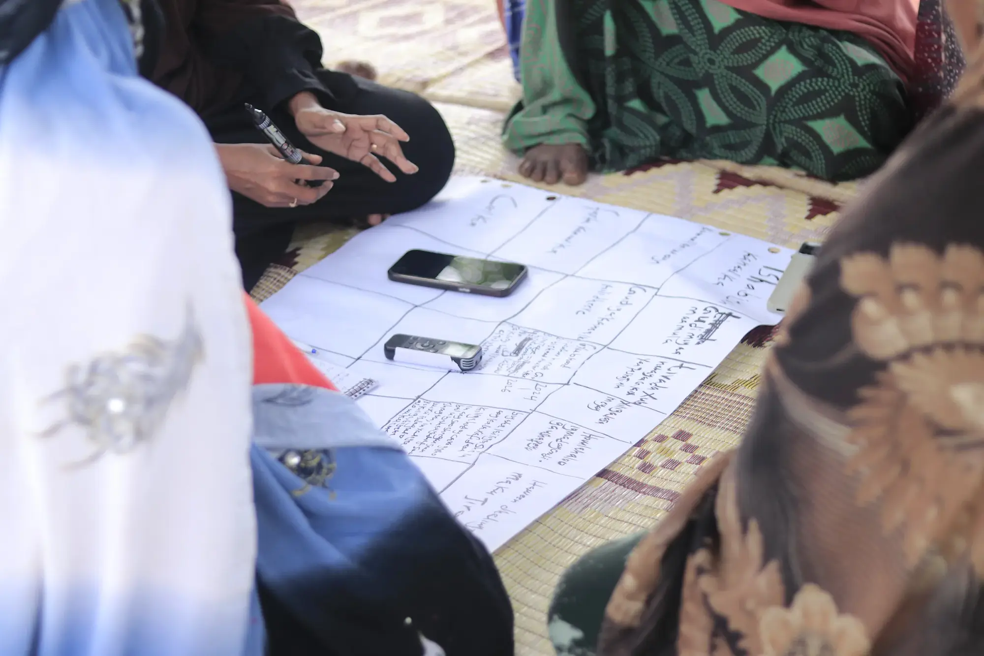
A close view of a hand-drawn ranking grid on paper, written in Somali, a phone resting beside it.

04

Communities may not have a way to ask questions or provide feedback

Establish a clear feedback route, including who receives feedback, how it is followed up, and how a response gets back to the community.

Communities should be able to ask questions, provide feedback, report changes and raise concerns when a warning does not reflect what is happening locally.

1 of 4
05The engagement process

Five interconnected phases

The process includes stakeholder engagement, site identification, participant selection, community-led analysis, planning and validation.

1

Stakeholder engagement

Introduce district authorities, SoDMA representatives, community leaders and relevant government personnel to the approach, build awareness and secure local acceptance and institutional support.

2

Identify and train local facilitators and moderators

Prepare them to facilitate participatory sessions, select participants, document discussions, explain flood typology and key messages, and communicate forecast uncertainty honestly.

3

Identify community participants

Work with community leaders, CRC and DAC structures to identify participants across community groups, with particular attention to women, youth, marginalised groups and persons with disabilities.

4

Roll out community engagement sessions

Use scenario-based exercises, hazard mapping, ranking activities and visual illustrations, while documenting discussion points, differences of opinion, quotes and sensitive issues.

5

Prepare contingency plans and the outcome report

Consolidate discussions into a community contingency plan, relocation plans for high-risk riverine locations and a short outcome report, then validate the plans with the community.

1 of 5
06Sites and participants

Prepare the conditions for an inclusive discussion

Site selection is completed before the participant list is finalised, because the venue decides who can attend and what can safely be discussed.

Twenty-five participants

The group must include residents of the lowest-lying and most flood-exposed parts of the settlement, not only those in the safer areas.

30%
minimum women
10%
persons living with disabilities
5 years
minimum residency, to recall the 2023 floods
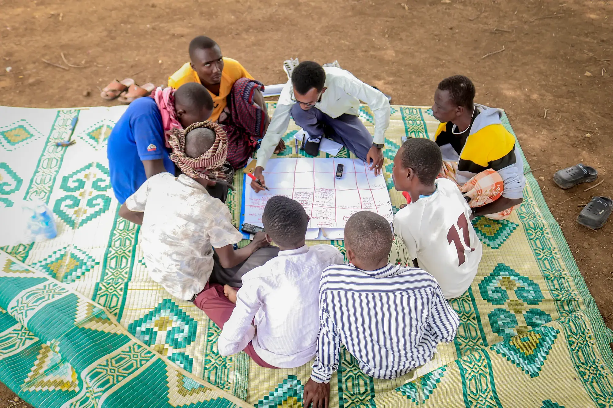
Participants seated around a large grid drawn on paper on the mat, filling it in.

Filling in the planning grid. Photo: Raagsan

  • Women5
  • Youth3
  • Men - Farmers, herders and traders5
  • Elders, religious leaders and traditional leaders3
  • CRC / DAC Forum and EWEA subcommittee7
  • Community service providers2
  • Total25
07Materials required

Daadihiye depends on visual tools rather than written handouts

Daadihiye relies on illustrations, mapping and simple participatory tools rather than written handouts alone.

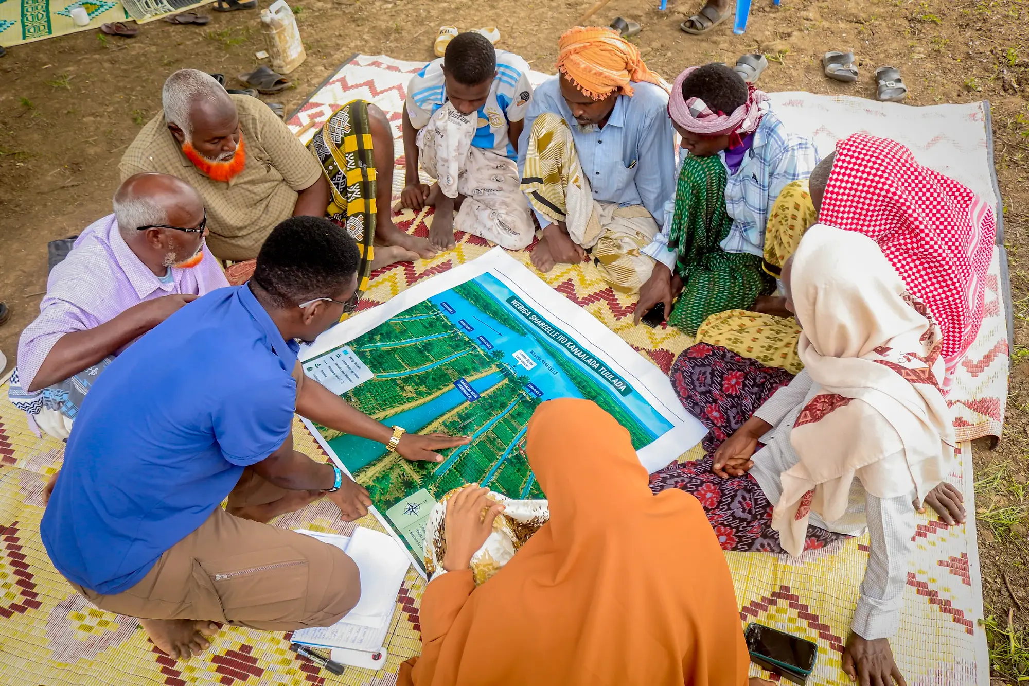
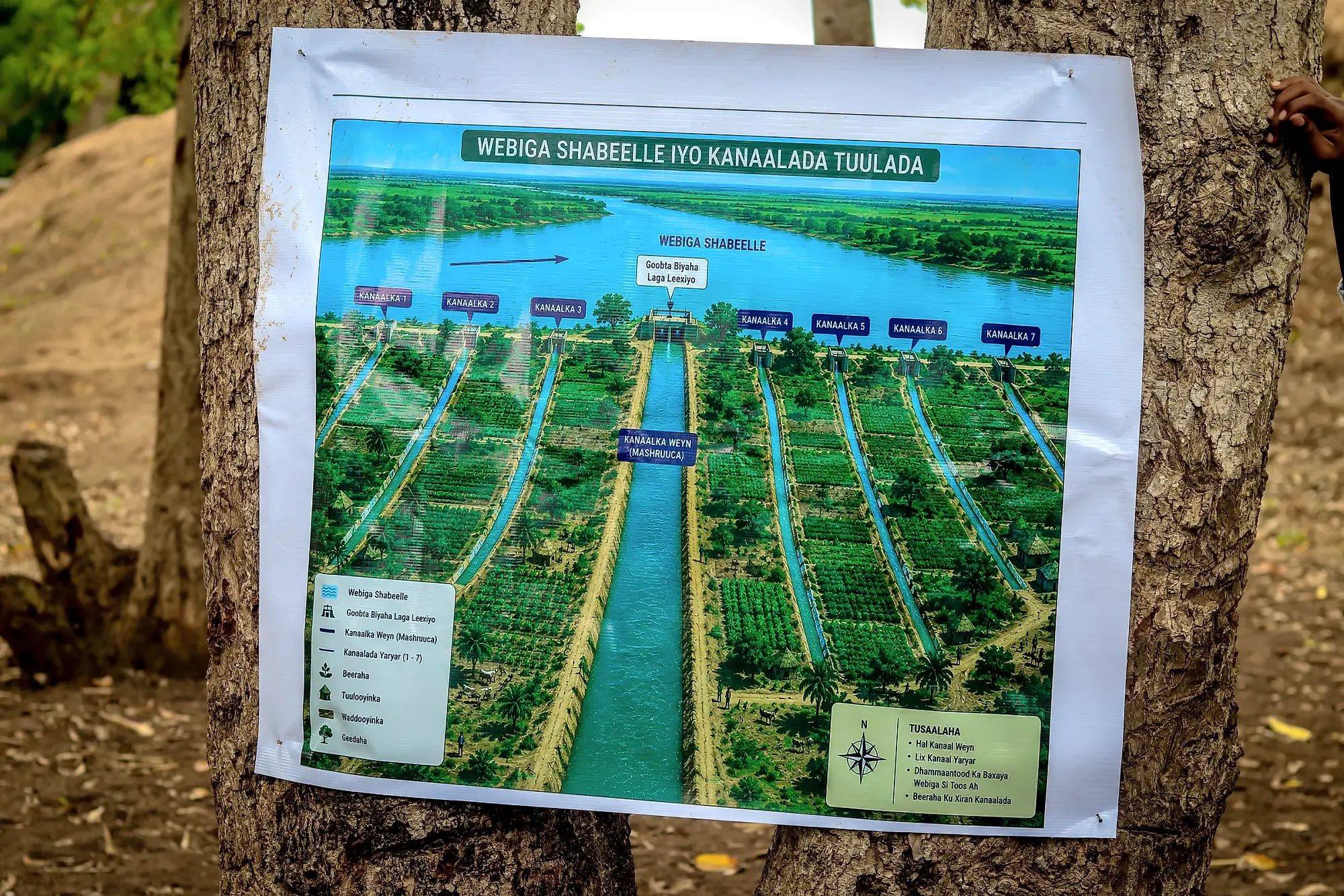
A large printed map headed Webiga Shabeelle iyo Kanaalada Tuulada, showing the river and the village canal network.

The printed river and canal map used in the mapping session. Photo: Raagsan

General facilitation

Flip charts, markers, masking tape, notebooks, attendance sheets, camera or phone.

  • Flip charts and markers
  • Masking tape
  • Notebooks
  • Attendance sheets
  • Camera or phone

Hazard and seasonal discussion

Illustration cards for riverine flooding, flash flooding, drought, crop loss, livestock loss, disease outbreak and displacement.

Ranking and prioritisation

Stones, beans or bottle caps and ranking matrices. Counters rather than pens keep the exercise open to everyone in the group regardless of literacy.

Community and route mapping

Large paper or cloth, a base map or satellite image, the 2023 SWALIM flood extent map, and stickers for houses, water points, schools, safe ground and routes.

  • Large paper or cloth and coloured markers
  • Base map or satellite image
  • 2023 SWALIM flood extent map
  • Stickers for houses, water points, schools, health posts, safe ground and routes

Early warning discussion

Cards showing local indicators and official sources such as radio, SMS, SWALIM bulletins and river gauge readings.

Scenario exercise

Scenario cards read aloud by the facilitator, including a rising river, flash flood at night and a false alarm. The false alarm card exists because how a community is treated after one determines whether it acts on the next warning.

Planning outputs

Blank contingency plan template, blank relocation plan template, and a GPS device or smartphone with a GPS application for recording safe-site coordinates.

Accessibility

Larger-print or high-contrast illustration cards and a quiet corner for participants who cannot follow discussion in a large group.

1 of 8
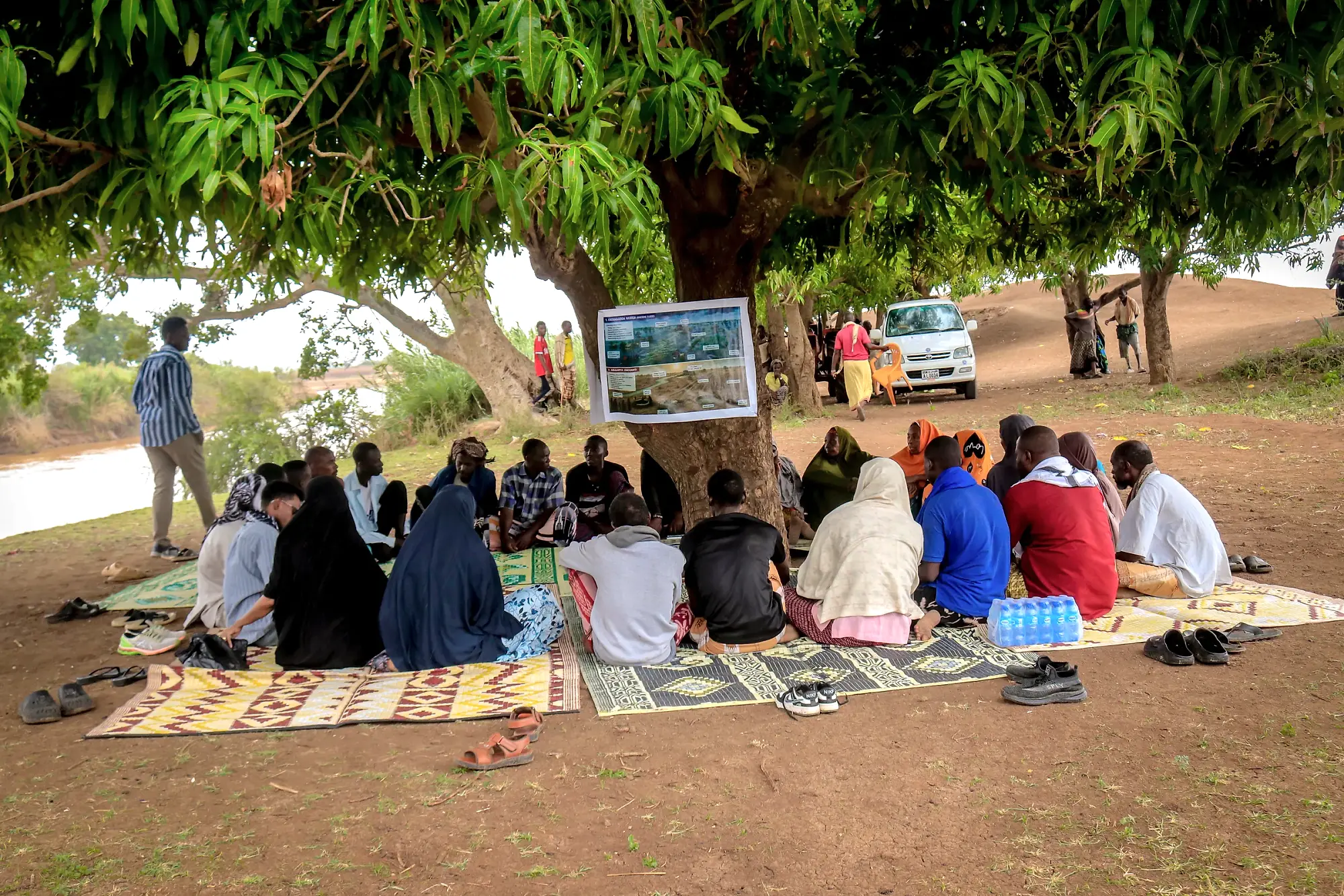
A community session seated on mats in a wide circle under a mango tree, a map board propped against the trunk.
08Rolling out the sessions

The community engagement process consists of 10 sessions that will be undertaken over three days

The discussions will start with what communities already know and have experienced, introduce El Niño and early warning information, and then move towards developing community plans, agreed actions, messages and practical preparedness plans.

What the community already knows

Introductions, hazards mapping, overview on El Niño and discussions on the EWEA messages.

  • 01Getting to know each other1 hr 20 min
  • 02Hazards and historical trends40 min
  • 03Understanding El Niño forecast and discussions with the community on EWEA messaging1 hr

3 hrs of structured discussion, documented by a note-taker

09Documentation and reporting

What documents the community needs to keep

All outputs must be validated with the community before they are finalised, and the community must receive a copy of its own plan in a form it can use.

Updated community contingency plan

Completed EWEA Workstream template, with the community map and the seasonal calendar attached as annexes.

Relocation plan

Required elements completed, GPS coordinates recorded and land permission status stated for each site.

Relocation planning is mandatory for High-risk riverine locations, and warranted in flash-flood locations only where there is a documented history of destructive flash flooding.

Session outcome report

Community priorities, disagreements, expressions of distrust, questions referred upwards, unresolved gaps and practical recommendations.

Attendance record

Participants disaggregated by sex, age group, disability status and settlement area.

Photographic record

Community map, ranking outputs, seasonal calendar and flip charts, photographed and labelled with location and date.

1 of 5

Points to record in every session

  • Key discussion points and reasoning.
  • Areas of agreement and disagreement.
  • Notable quotations in participants own words.
  • Differences between groups.
  • Sensitive issues.
  • Questions the facilitator could not answer.
  • Names and contact numbers attached to agreed actions.

For flooding in Somalia, the warning window may be measured in days, and that time is useful only where communities understand what the warning means and have discussed in advance what they will do.

Locations where activation is most likely must therefore be engaged first.

10Support and focal point

Questions on the guide and planning templates

Questions on this guide, the flood typology and community classification, or the contingency and relocation plan templates should be directed to the EWEA Workstream Lead.

Nyasha Chikwara

EWEA Workstream Lead

nyasha.chikwara@concern.net
+252 611878402